 | Complete 5E (Engage, Explore, Explain, Evaluate, Ellaborate) learning cycle including teacher directions, student handouts, answer keys, etc. Individual components are also listed below to download separately. |
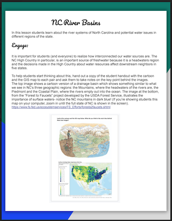
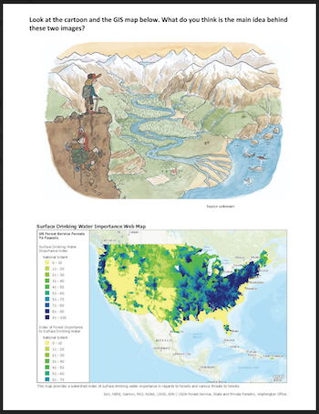 | ENGAGE- Students are given a cartoon showing a drainage basin similar to what you see in NC's three geographic regions: the Mountains, where the headwaters of the rivers are, the Piedmont and the Coastal Plain, where the rivers empty out into the ocean. The image at the bottom is from the “Forest to Faucets” project developed by the USDA Forest Service, and illustrates the importance of surface waters They discuss the key point behind the images. |
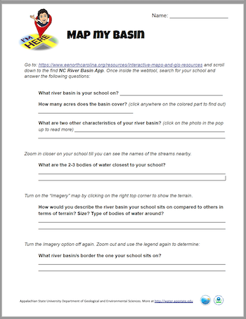 | EXPLORE- Students use https://www.eenorthcarolina.org/resources/interactive-maps-and-gis-resources and https://modelmywatershed.org/ to answer questions about the bodies of water near their school, the river basin and watershed they are on, etc. |
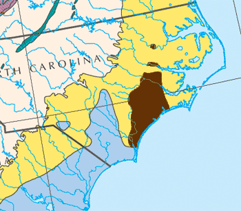
 | EXPLAIN- There are some great resources for students to research NC river basins, most provided by the NC Environmental Education Office. For example, the web-based River Basin StoryMaps is a good starting point. PDFs for each NC river basin can be found at https://www.eenorthcarolina.org/resources/river-basin-program. These informational pages are accessible for Middle and High School students and they can use them as background for projects such as the brochure one described below.
|
 | EVALUATE- A rubric is provided below for the Bountiful Basins version of the research project, where students compare two NC river basins. Another alternative for assessment is a student-generated test, where each groups comes up with one or two questions about the basin they focused on. |
 | ELABORATE- Here the focus is on understanding how river basins in NC are all interconnected and how they are different from one another due in large part to their geology. A simple slide on the aquifers of NC can be found at: http://slideplayer.com/slide/14485948 (Slide 11). Students can design an investigation using different types of rock to figure out which is most porous, which holds the most water, etc. Sample activities from different sources can be found below:
|
